High–Resolution Color Orthophotographs
Helena (2006)
April 20, 2006
Imagery provided by the City of Helena – Lewis & Clark County GIS Center
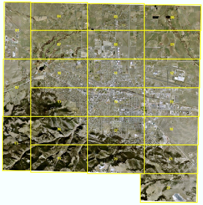
A georeferenced, ortho–rectified aerial photograph of each of the 22 areas
shown on the image below is available as a MrSID image. To download an image, right–click
on it and use your browser's "Save Target As" function. You may also
use the same method to download a MrSID image that covers the entire area.
The images have a horizontal resolution of six inches and are in Montana State Plane
Coordinates, NAD83 HARN, units meters. Each image is approximately 45 megabytes.
Users of ArcMap software will need ESRI .aux files to accompany each image so that
ArcMap will understand their coordinate system, or "spatial reference."
Users of some software may need .sdw world files to accompany each image to view
these images in their correct geographic locations.