Color Aerial Photos
Yellowstone River Corridor, 1977
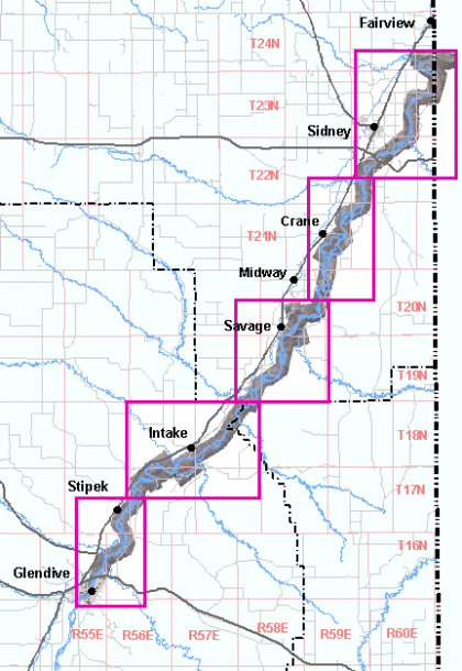
Georeferenced aerial photo mosaics of the areas shown on the map below are available.
The images have been resampled to a horizontal resolution of 1 meter.
The images are in MrSID format; Montana State Plane Coordinates, NAD83, units meters,
and are between 9 and 17 megabytes. Users of some software may need ESRI .aux files
or .sdw world files to properly use these images.